Close notification
Our telephone...
is currently not working. We're doing all we can to get the problem solved as soon as possible.
In the meantime, please use e-mail to contact us.
Display notification
Filter by price
Filter by attributes
CARTES ET PLANS
Ensemble des cartes géographiques, atlas historiques, économiques, routiers pour adultes.
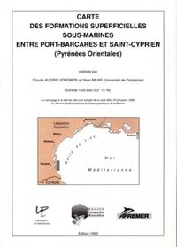
Carte des formations superficielles sous-marines entre Port-...
Échelle : 1/20 000 (43° 15' N). carte pliée
Availability Available from publisher
9.15 €
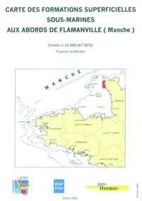
Carte des formations superficielles sous-marines aux abords ...
Échelle : 1/15 000 (47°30'N) - carte pliée
Availability Available from publisher
12.20 €
EUROPE OUEST
Availability Available from publisher
12.90 €
N 08 HAUTE CORSE
Availability Available from publisher
11.95 €
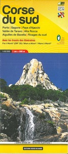
N 09 CORSE DU SUD
Availability Available from publisher
11.95 €
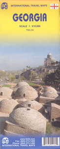
**GEORGIE
Availability Available from publisher
12.99 €
N 11 MONTS D ARDECHE
Availability Available from publisher
11.95 €
N 10 VERCORS
Availability Available from publisher
11.95 €
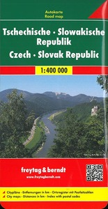
REPUBLIQUES TCHEQUE & SLOVAQUE
Availability Available from publisher
12.90 €
