Close notification
Our telephone...
is currently not working. We're doing all we can to get the problem solved as soon as possible.
In the meantime, please use e-mail to contact us.
Display notification
Filter by price
Filter by attributes
CARTES ET PLANS
Ensemble des cartes géographiques, atlas historiques, économiques, routiers pour adultes.
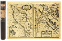
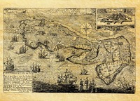
OLERON EN 1650 CARTE DE NAVIGATION 58,5 CM X 42 CM
Availability Available from publisher
23.35 €
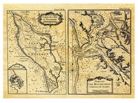
OLERON EN 1650 CARTE DE NAVIGATION A PLAT
Availability Available from publisher
17.50 €
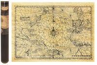
CARTE MARINE ATLANTIQUE EN 1550 58,5 CM X 42 CM
Availability Available from publisher
23.35 €
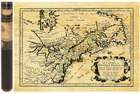
CANADA QUEBEC EN 1657 50 CM X 38 CM
Availability Available from publisher
23.35 €
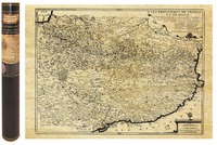
PYRENEES EN 1694 58,5 CM X 42 CM
Availability Available from publisher
23.35 €
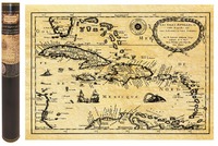
CARAIBES AU TPS DES PIRATES EN 1657 58,5 CM X 42 CM
Availability Available from publisher
23.35 €
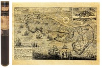
ILE DE RE EN 1684 CARTE MARINE 58,5 CM X 42 CM
Availability Available from publisher
23.35 €
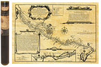
CANAL DU MIDI EN 1666 58,5 CM X 42 CM
Availability Available from publisher
23.35 €
ILE DE RE EN 1684 CARTE MARINE A PLAT
Availability Available from publisher
17.50 €

