Close notification
Our telephone...
is currently not working. We're doing all we can to get the problem solved as soon as possible.
In the meantime, please use e-mail to contact us.
Display notification
Filter by price
Filter by attributes
CARTES ET PLANS
Ensemble des cartes géographiques, atlas historiques, économiques, routiers pour adultes.
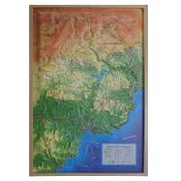
CARTE EN RELIEF DU MASSIF DE L'ESTEREL - PAYS DE FAYENCE
CARTE EN RELIEF DU MASSIF DE L'ESTEREL - PAYS DE FAYENCE
Availability Available from publisher
39.90 €
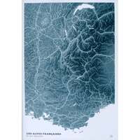
CARTE EN 2D - LES ALPES BLUE DESIGN
CARTE EN 2D - LES ALPES BLUE DESIGN
Availability Available from publisher
20.00 €
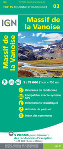
TOP75003 MASSIF DE LA VANOISE
Availability Available from publisher
9.80 €
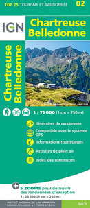
TOP75002 CHARTREUSE BELLEDONNE
Availability Available from publisher
9.80 €
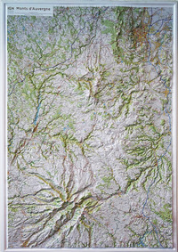
60176 MONTS D'AUVERGNE 113CM X 80CM
Availability Available from publisher
115.00 €
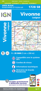
1728SB VIVONNE - LUSIGNAN
Availability Available from publisher
14.10 €
2424SB NERONDES AVORD
Availability Available from publisher
14.10 €
2421SB GIEN BRIARE
Availability Available from publisher
14.10 €
Prague 1/17.500 (carte grand format laminée - plan de ville)
Availability Available from publisher
9.90 €

